Company
People
Products
Everything You Need to Know About Successful Businesses
Pastor Dino Rizzo Offers Advice for Young Church Planters
Share this
Market Areas Hedge Funds Like Armistice Capital Have Reduced Their Investments
Share this
Summer Vibes, Stellar Work: How to Craft a Productive Summer Work Culture
Share this
Omaha Productions' Full Court Press and Basketball Phenom Caitlin Clark Usher in New Era in Women's Sports
Share this
The Rise of Compliance Consulting: A Smarter Alternative to Hiring In-House Compliance Experts
Share this
How Online MBA Programs Lead the Reskilling Revolution
Share this
1-800-Ask-Gary Discusses Student Drivers Seeking Help After a Car Accident
Share this
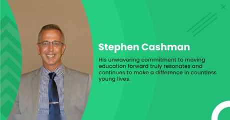
Stephen Cashman Shares Innovative Teaching Strategies for Fostering Strong Future Leaders
Share this
George Cottrell Discusses the Ultimate Guide to Incorporating Philanthropy into Your Professional Journey
Share this
Best Places to Visit in Africa for College Students
Share this
James Patrick Carey Shares the Top 10 Reads for Any Professional in the Personal Injury Law Industry
Share this
Dr. K Peter Rentrop Shares Unbelievable Cardiology Breakthroughs That Will Blow Your Mind
Share this
Gorilla Trekking Tips for Students and Volunteers Visiting Uganda
Share this
Exploring the Benefits of an Online Juris Law Degree: Is It the Future of Legal Education?
Share this
Jennifer Jacques: A Legal Powerhouse and Philanthropic Force Making Waves in New York
Share this
What Is the Divorce Rate in Utah?
Share this
Why Legal Historians Are Needed: A Perspective from Ekaterina Kogan, PhD in Law
Share this
Florida's New Homelessness Bill: A Step in the Right Direction or a Band-Aid Solution?
Share this
Pitzer College President Declines Call for Full Divestment From Israeli Universities, Emphasizing Commitment to Academic Freedom and Value of Intercultural Understanding
Share this
Scholarships for Black Students No Longer Offered at Duke University Due to Shift From Merit Scholarships to Leadership Programs
Share this